Hogsback Mountains
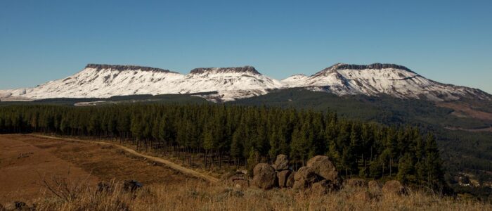
Some folks say Hogsback got its name from the three hog-shaped mountains that are so prominent when you enter the village. Nobody can really confirm that, but it certainly has quite a few more mountain peaks to get excited about!
AmatholE Mountain range
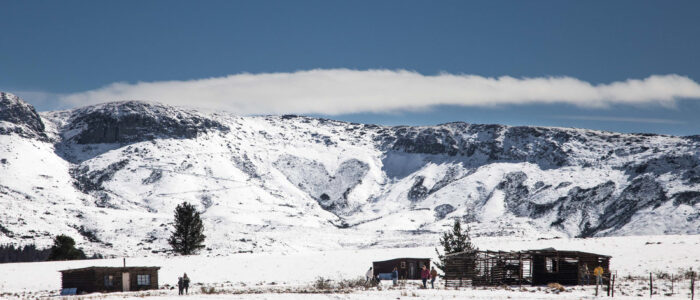
The Amathole Mountain Range is a range of densely forested mountains, situated in the Eastern Cape Province of South Africa. The word Amathole means ‘calves’ in Xhosa, and Amathole District Municipality, which lies to the south, is named after these mountains. It stretches all the way from Stutterheim to Adelaide.
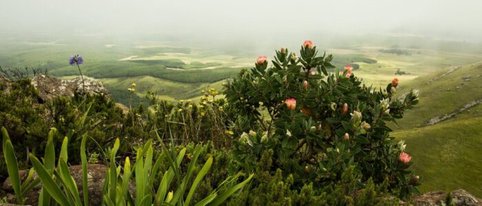
The Amathole Mountains form part of the southern portion of the Great Escarpment, rising over 1,800 metres above sea level. The escarpment slopes are densely covered in ancient forests of yellowwoods, white stinkwoods, Cape Chestnuts and other indigenous trees. Deep indigenous woods like Kologha and Kubusie are some of the largest swathes of forest in South Africa. The mountains are capped with flower-rich montane grassland. Albany thickets also feature prominently in the surrounding area.
The mountains are famous for their scenic beauty with lush forests, ravines, waterfalls and panoramic views. The six-day Amatola hiking trail is one of the top (and toughest) hiking trails in South Africa.
Gaika’s kop
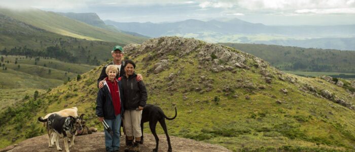
Gaika’s Kop is an isolated dolerite outcrop in the Amatola mountain range and with an altitude of 1960 m, it is the second-highest peak in this range. It is a favourite destination for hikers, botanists and other naturalists.
It is named after a famous African chief who was head of the Xhosa nation in the late 1700s. The northern and eastern slopes are privately owned by local farmers and are used primarily for grazing livestock. The steep cooler and moister southern and western slopes fall within the DFFE Reserve and are managed by the AFC which is responsible for keeping the peak clear of aliens, conserving the flora and fauna, especially the wetlands, and undertakes periodic fire management. The summit is in the form of a shallow basin about 3 hectares in extent with a stream draining to the north.
For an extensive list of vegetation, flowers etc., see the PBS site here
The Three Hogs
Hogsback is probably best known for its three Hogs mountain peaks, depicted in many logos and establishments in Hogsback. As we have mentioned, the village is rumoured to have derived its name from the hog-shaped mountain.
Of the 3 Hogs, only Hog 1 (the most left) is “easily” accessible for hiking even though it is still a very strenuous hike.
To do rock climbing on Hogs 2 and 3, you will need special permits and permission. You can contact info@easterncaperockclimbing.co.za for the details. For more information about rock climbing and to see more stunning photos, go to the Eastern Cape Rock Climbing site. You will also find a handy guide there as well as a climbing report from 1964,
Elandsberg
When you drive up to Bolt Point and turn left towards Cathcart, the highest point, the Elandsberg will be on your left. This mountain is characterised by the lovely stone heart prominent on its southern slope. As the mountain is on privately owned farmland, it is not accessible to the public, but can be admired from a number of vantage points.
Tor Doone
This peak is one of the most accessible outcrops to climb in Hogsback and it has a marvelous view of the village and surrounding mountains. It also provides a vantage point for a few of the data towers that service Hogsback. You can access the peak using the Contour Path. Here you will also find a plaque that commemorates where Fort Mitchell, a British outpost, once stood. Please remember to contact the AFC Office for the latest regulations regarding access to any hiking and climbing routes.


