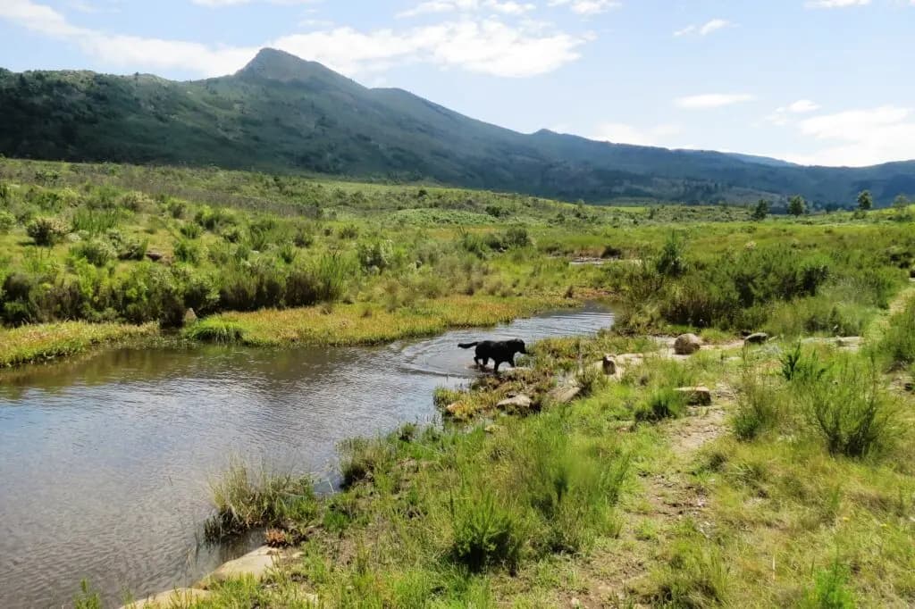
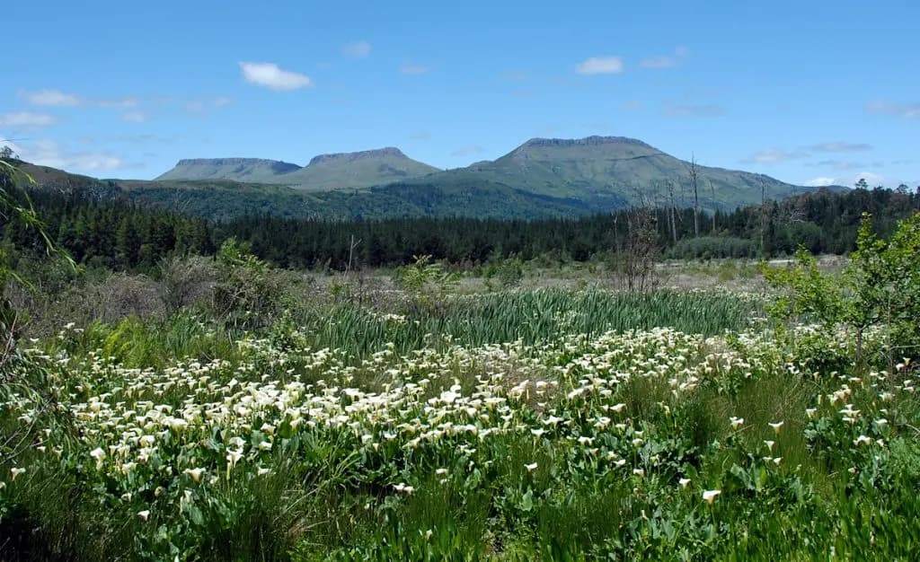
Open mountain grassland and water beneath the Hogsback ridges

Walking & hiking in Hogsback

Hogsback
on foot.

A path can begin beside a village road, disappear into the forest and emerge at falling water or an open mountain view.

Follow the path

Out among the trees

Forest paths.
Waterfalls. Open hills.

Hogsback sits where indigenous Afromontane forest, mountain grassland, streams and deep valleys meet. Even a short outing can cross several of those worlds.

Some paths offer a gentle hour beneath old trees. Others descend over roots and wet rock towards waterfalls, then ask you to climb all the way back. Beyond them, the Hogs and Gaika’s Kop belong to a more demanding scale of mountain hiking.

The pleasure lies as much in the transition as the destination: light changing beneath the canopy, louder water around the next bend, mist moving into a valley.

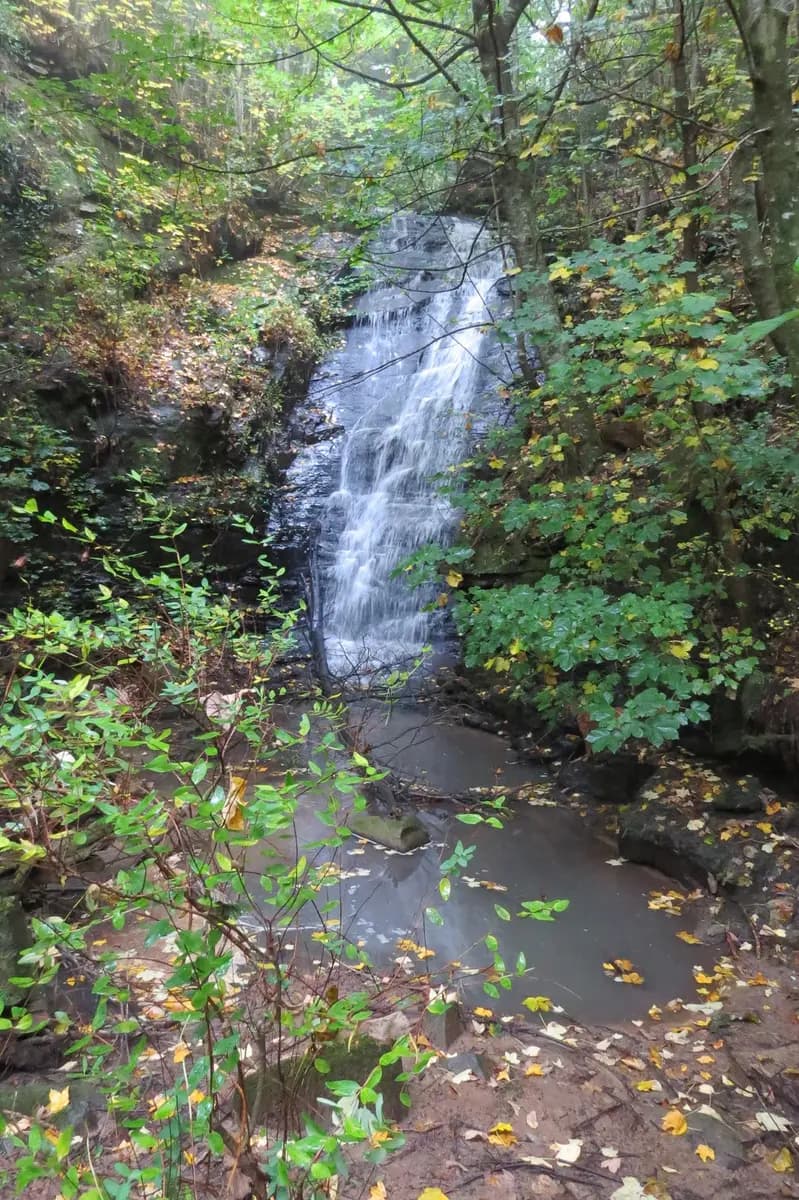
A waterfall dropping through dense Hogsback forest
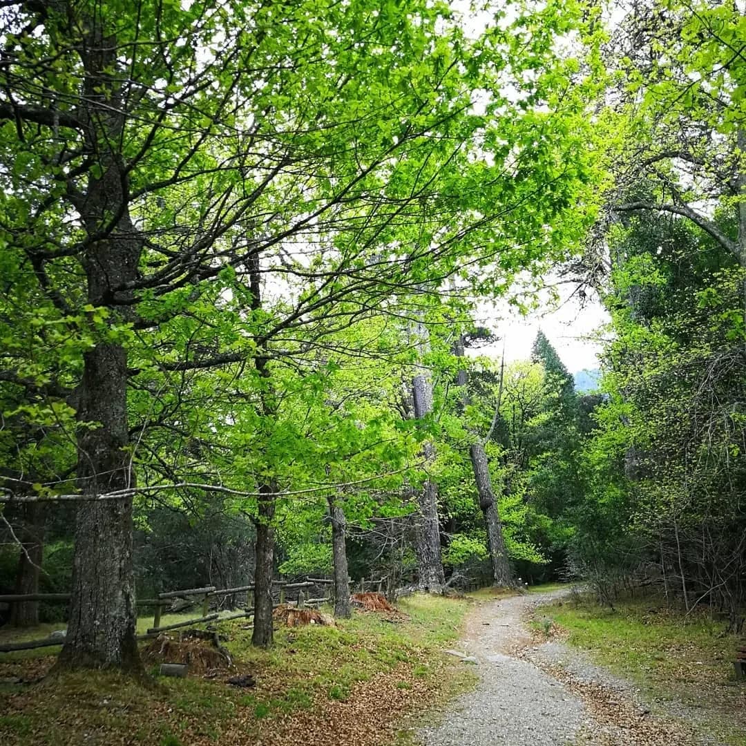
A quiet path winding beneath trees in Hogsback

Forest · water · mountain

Walking the
forest trails.

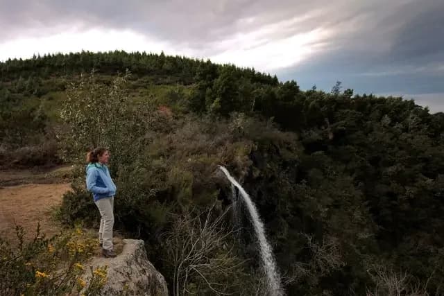
A walker looking across the valley beside Kettlespout Falls

More than distance

The terrain makes the difference.

Forest paths are rarely manicured tourist walkways. Expect roots, mud, uneven ground and steep sections. A route may look short while including a long descent into a valley and a more tiring climb out.

For a gentler introduction, the Arboretum and 39 Steps bring together old trees, running water and relatively easy ground. The Big Tree offers another way into the indigenous forest.

Walks to Madonna & Child Falls, Swallowtail Falls, Bridal Veil Falls and Kettlespout demand more attention to the ground beneath your feet.
Water shapes the walk

After rain,
everything changes.

The waterfalls grow louder. Streams rise. Moss, rock and roots become slick, and the same forest path can feel entirely different.

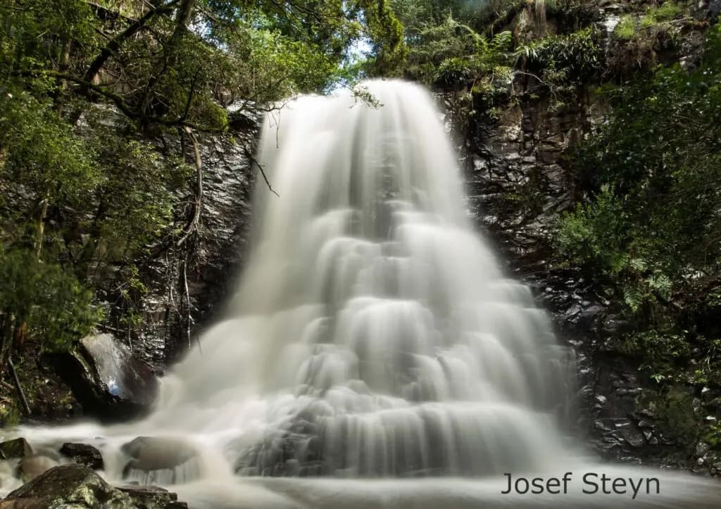
A broad waterfall flowing through the Hogsback forest

Water rises on the plateau, crosses the village and cuts through the forest into the valleys below. That is why so many waterfalls and smaller cascades sit close to Hogsback.

Good rainfall makes them especially dramatic, but it also brings mud and more difficult stream crossings. In dry periods there may be less falling water; the forest, views and experience of the path are still worthwhile.

Never judge the whole walk only by how much water is falling.

A little preparation

Before you
set out.

A clear morning can turn to mist or rain. Pack for changing conditions and allow time for the climb back.

For a forest or waterfall walk

What to take with you

  • Footwear with reliable grip
  • Drinking water and basic snacks
  • An extra warm layer
  • Rain protection when weather looks unsettled
  • A charged phone
  • Enough daylight for the return journey

Mobile reception cannot be assumed in forest and valleys. Stay on recognised paths, take your time on wet descents, and turn back if conditions or daylight begin working against you.

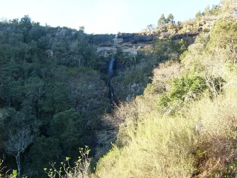
Kettlespout Falls dropping from the escarpment into the wooded valley
Higher and more exposed routes require more preparation than village forest walks.

Access changes

Access & permits

Access varies between village paths, forestry land and the higher mountains. Confirm the arrangements for your route before setting out.

Forest and village walks

Established visitor walks include the Arboretum and 39 Steps, Big Tree, Madonna & Child, Swallowtail and Bridal Veil. For Kettlespout, the route beginning on the Hobbiton side is the permit-free route to focus on.

Bluff Walk access is uncertain and should be confirmed locally before setting out.

A useful rule

If a route enters forestry or the higher mountain areas, ask the AFC kiosk about current access and permits before you leave.

This applies especially to Contour Path, Tor Doone, Fort Michell, Robertson Dam, Gaika’s Kop and routes involving the Hogs.

A living landscape

Walking with care

The trails are used by visitors, residents, forestry workers and neighbouring communities. They also depend on community effort.

Military Path makes that especially clear. It is a recognised walk, but also a practical pedestrian route used by people travelling between the lower villages and Hogsback. It is part of everyday movement through the landscape, not simply a tourism attraction.

Stay on established paths where possible, avoid damaging vegetation, leave streams as you found them and carry out everything you carry in. If you are bringing a dog, check the rules for your particular route and the properties it crosses.

Take the next step

Further along
the path.

A quiet hour beneath the trees. A waterfall at the bottom of a valley. A full day in the surrounding mountains.

Read the individual trail pages for current route details, then use the full Explore directory to see Hogsback’s waterfall and hiking places together.

See all hikes